No longer just ‘light dustings’ of snow expected – SA should now be prepared for up to 20cm of snowfall this week!
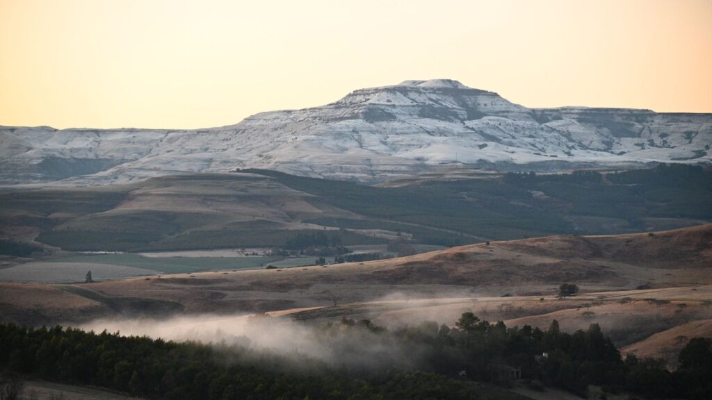
Earlier this week, our weather forecasting tools told us that a light batch of snowfall would reach three provinces by the end of the week. Well, that’s changed significantly, and the wintery conditions are set to intensify SOON.
SNOWFALL FORECAST FOR SOUTH AFRICA – FIVE PROVINCES SET FOR A SPRINKLE!
The SA Weather Service (SAWS) has issued an official press release, detailing the set of cold fronts coming to South Africa over the next few days. Plummeting atmospheric levels, steep upper-air-troughs, and cut-off low pressure systems are set to bring winter right to our doorsteps.
Rainstorms, gale-force winds, and very low temperatures are all on the radar – but right now, we can’t take our eyes off the snowfall forecast. There’s A LOT more of it coming than we first thought, and it’ll be branching out further than initially anticipated, too.
- ‘Up to 5cm of snowfall’ could fall in high-lying areas of the Western Cape on Thursday night.
- This is likely to spread into the Eastern Cape, in the early hours of Friday 20 May.
- Flurries are also forecast for the ‘extreme south-east’ of the Northern Cape, on the same day.
- High ground in the south of Free State is also likely to get a dusting.
- From Friday evening, the snowfall will intensify, making landfall in the Drakensberg region of KZN.
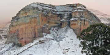
- Between 10-20cm of snowfall is forecast to land in the north-east of the Eastern Cape, the Drakensberg Mountains, and parts of Lesotho by Saturday.
LATEST SA WEATHER UPDATES FOR TUESDAY 17 MAY
In their latest statement, SAWS explain that almost all of the snowfall will only occur in high-lying areas. Abundant moisture and smaller freezing levels have been detected in the atmosphere, ensuring that a majority of provinces will see flakes falling before the weekend.
“Light snowfalls are likely over the mountainous, high-lying areas of the Western and Eastern Cape, spreading to the Lesotho/Drakensberg regions by the weekend, where heavier falls are anticipated.”
“Furthermore, light snowfalls can also be expected over the high-lying ground of south-eastern and eastern Free State. This will be caused by the lowering of atmospheric freezing levels, combined with abundant moisture in the lower layers of the atmosphere.”
SAWS statement
By: Tom Head
ALSO READ: QUIZ: What type of traveller are you?

